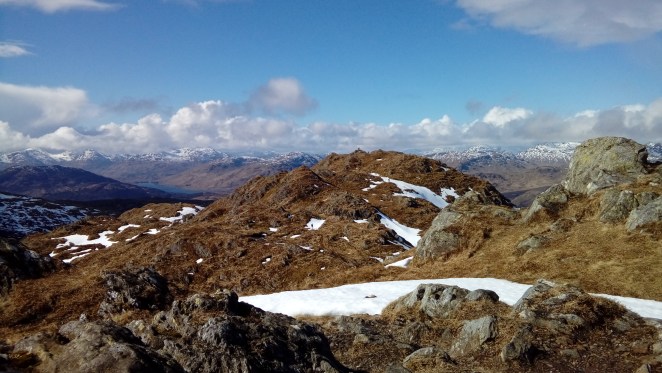
This walk – a circuit up from the car park at the west end of Loch Achray – is the first which really prompted me to ask, when is a hill not a hill? You see, the OS 1:50000 and 1:25000 maps are unanimous that when you get up on to the ridge on the south side of a sort of horseshoe that goes round to Ben Venue the other side of the glen, you ascend something called Beinn an Fhogharaidh. On the 1:25000 map in a font size the same as Ben Venue itself. The view’s very nice…
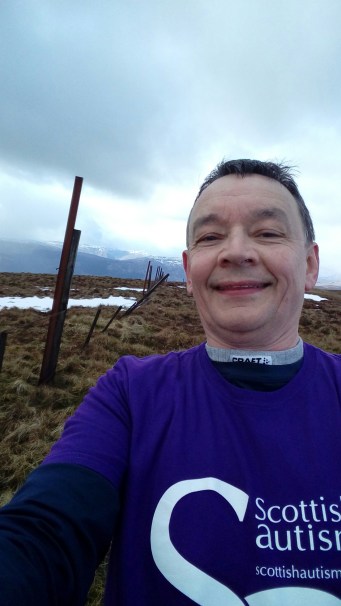
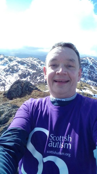
…but feeling that you were on the top of something and finding its summit, well, eventually I chose a tussock that was slightly higher than all the other tussocks for the summit selfie. You can see the doubt in my eyes…
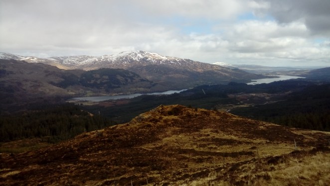
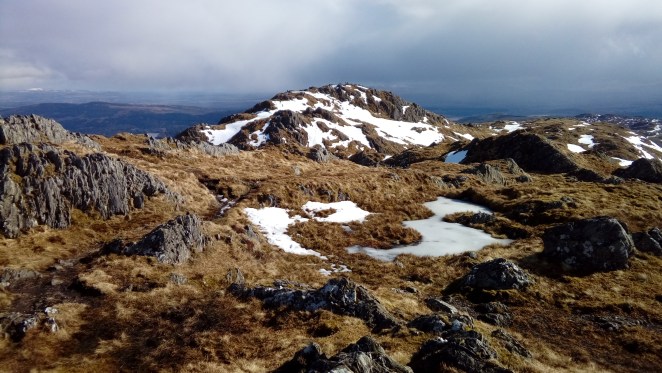
Then a bit further along the ridge you come across a veritable summit, named Stob an Lochain on the 1:25000 map in a tiny font, but unacknowledged on the 1:50000 map apart from the contours, which rather give the game away. Again, terrific views (looking east over Lochs Achray and Venachar). But was it a hill to count towards the 50?
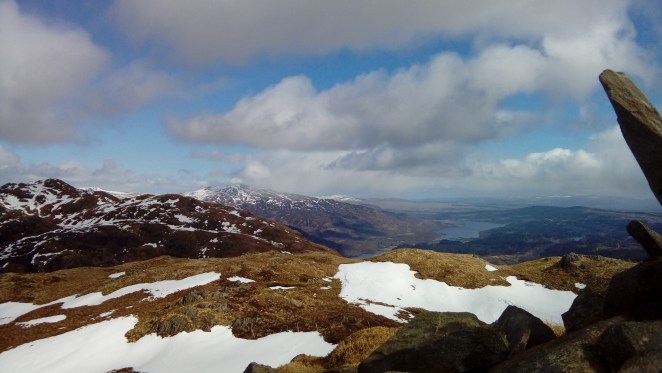
No time to linger, as there were big black clouds rolling in from the west, quickly down to the col and up Ben Venue. Still plenty of snow on the ground, and the first part of the climb from the col involved kicking steps into a steep drift. Ben Venue has a couple of summits, the maps say the north-westerly one is a couple of metres higher, so that’s where I took the summit selfie…
…and the view over to the other top, which has the more official-looking trig point (and a small crowd on top).
When I got there, it was deserted – looking back to where I’d just come from, it seems we’d all crossed paths…